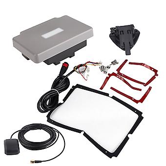
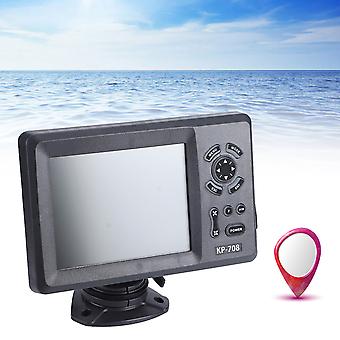
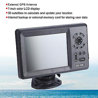
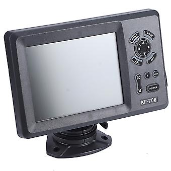
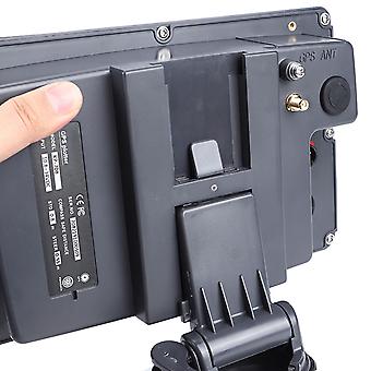
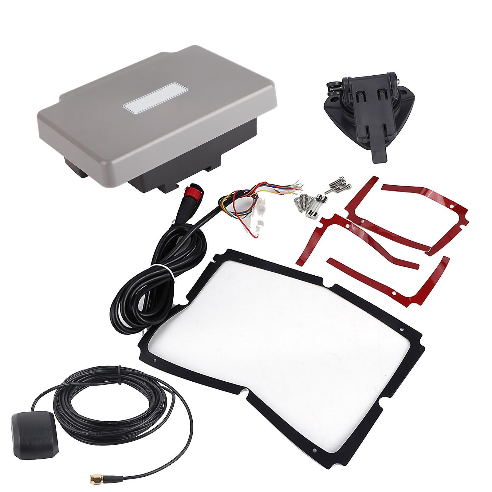
Transponder Combo Navigator,7in Navigation Chart Plotter GPS Navigation GPS Chart Plotter Rapid Response
gratis leverans
Transponder Combo Navigator,7in Navigation Chart Plotter GPS Navigation GPS Chart Plotter Rapid Response
- Märke: Unbranded
Transponder Combo Navigator,7in Navigation Chart Plotter GPS Navigation GPS Chart Plotter Rapid Response
- Märke: Unbranded
14-dagars returpolicy
14-dagars returpolicy
Betalningsmetoder:
Beskrivning
Transponder Combo Navigator,7in Navigation Chart Plotter GPS Navigation GPS Chart Plotter Rapid Response
- Märke: Unbranded
- Kategori: GPS
- Fruugo-ID: 278691211-619782560
- EAN: 9797733519282
Leverans och returer
Skickas inom 10 dagar
-
EXPRESS: GRATIS - Leverans mellan kl tis 06 januari 2026–ons 07 januari 2026 - GRATIS - Snabbast
-
STANDARD: GRATIS - Leverans mellan kl tis 13 januari 2026–tis 20 januari 2026 - GRATIS
Leverans från Kina.
Vi gör vårt bästa för att säkerställa att produkterna du beställer levereras kompletta och enligt dina specifikationer. Om du däremot skulle ta emot en ofullständig beställning, eller andra artiklar än de du beställt, eller om det finns någon annan anledning till att du inte är nöjd med din beställning, kan du returnera beställningen, eller valfria produkter som ingår i beställningen, och få fullständig ersättning för artiklarna. Visa fullständig returpolicy